



Smart Streets, Growing Gwinnett!
Gwinnett’s transportation system has a substantial job description: get people to work, customers to businesses and goods where they belong. The equipment handling that assignment extends well beyond the pavement visible through your windshield.
The Gwinnett County Department of Transportation maintains more than 2,650 miles of roadway and 775 signalized intersections. Behind those familiar red, yellow and green lights sits a network that includes 519 cameras and 415 miles of fiber-optic cable. Keeping a county moving requires considerable work in places drivers rarely notice.
A September contract action illustrates the investment involved. Gwinnett increased its 2026 traffic-signal and intelligent transportation system services contract from $11.5 million to $14.75 million and authorized up to $16.25 million for 2027. The September 15 commission work-session record details the amounts and identifies various SPLOST programs as the funding source.
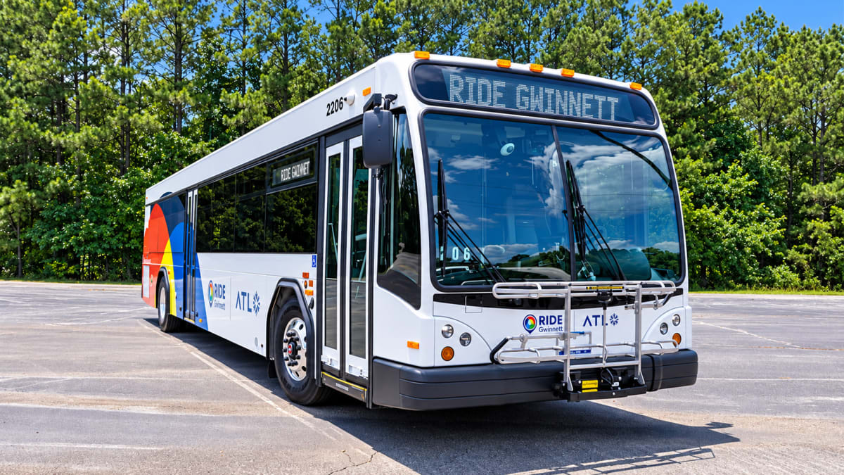
Those dollars support signal and intelligent transportation services, one part of a broader network. Public transit provides another, with Ride Gwinnett connecting communities through buses and flexible services. The department’s transportation inventory also includes commuter routes and vehicles serving microtransit and paratransit. Together, they accommodate different trips and different needs.
The business connection becomes concrete in the bus routes and schedules. Route 25 links Gwinnett Place Transit Center in Duluth with Amazon’s distribution warehouse in Stone Mountain. Route 40 connects Lawrenceville, Sugarloaf Mills and Gwinnett Place. These are connections to workplaces, shopping areas and other transit services, with practical consequences for how people organize their days.
Microtransit adds flexibility within designated areas of Snellville, Lawrenceville and Norcross. Riders can request a shared trip through the Ride Gwinnett app or by phone. Each trip costs $3 and must begin and end within a service zone; travel farther requires a separate connection to a local bus route.
That distinction matters. A useful transportation system needs clear information alongside vehicles and equipment. Bus tracking and trip-planning tools help riders check their options before leaving, while published schedules identify service hours and holiday changes. Nobody wants the commute to begin with a guessing game.
For businesses, the stakes are straightforward: employees and customers need workable ways to arrive. Gwinnett’s network brings road maintenance, signals, communications and transit into that daily calculation. The county’s transportation story is increasingly about how those pieces function together, trip by trip.
Find local civic and business connections in the Guide to Gwinnett community organizations directory: https://www.guidetogwinnett.com/community-organizations
